New Riverside in west Bluffton is home to May River High and the New River Trailhead. ZIP 29910's typical home value was $523,700 in August 2026.
Last checked Oct. 12, 2026. Sources: the Town of Bluffton’s Blueprint Bluffton land use element, its GIS planning district, subdivision and facility layers, the Beaufort County School District’s attendance zone maps, Zillow Research, Palmetto Breeze and OpenStreetMap.
New Riverside is one of the town’s planned unit developments, a “mixed plan with primary residential uses and supportive commercial and office approved in 2004, west Bluffton,” according to the town’s comprehensive plan, which lists it at 4,006 acres. By the plan’s count, 54% of the development agreement had been used, with 1,300 dwelling units and 190 acres of commercial land still entitled. The plan estimates up to 22,000 more residents across Bluffton’s planned communities and says most of them, up to 11,000, “will be in Palmetto Bluff and New Riverside.” It names New Riverside Village a “village,” like Old Town, “where compact mixed-use development and moderate density is promoted.”
What this means for you
- Zoned high school: split, about 80% May River High and 20% Bluffton High. Check one address on the district’s zone maps.
- Home value: $523,700 in ZIP 29910 in August 2026, according to the Zillow Home Value Index.
- Nearest interstate exits: I-95 Exit 8 (U.S. 278), about 14.6 miles by road, or south by way of S.C. 170 and U.S. 17, about 14.2 miles.
Part of our Bluffton neighborhoods guide.
Where it is
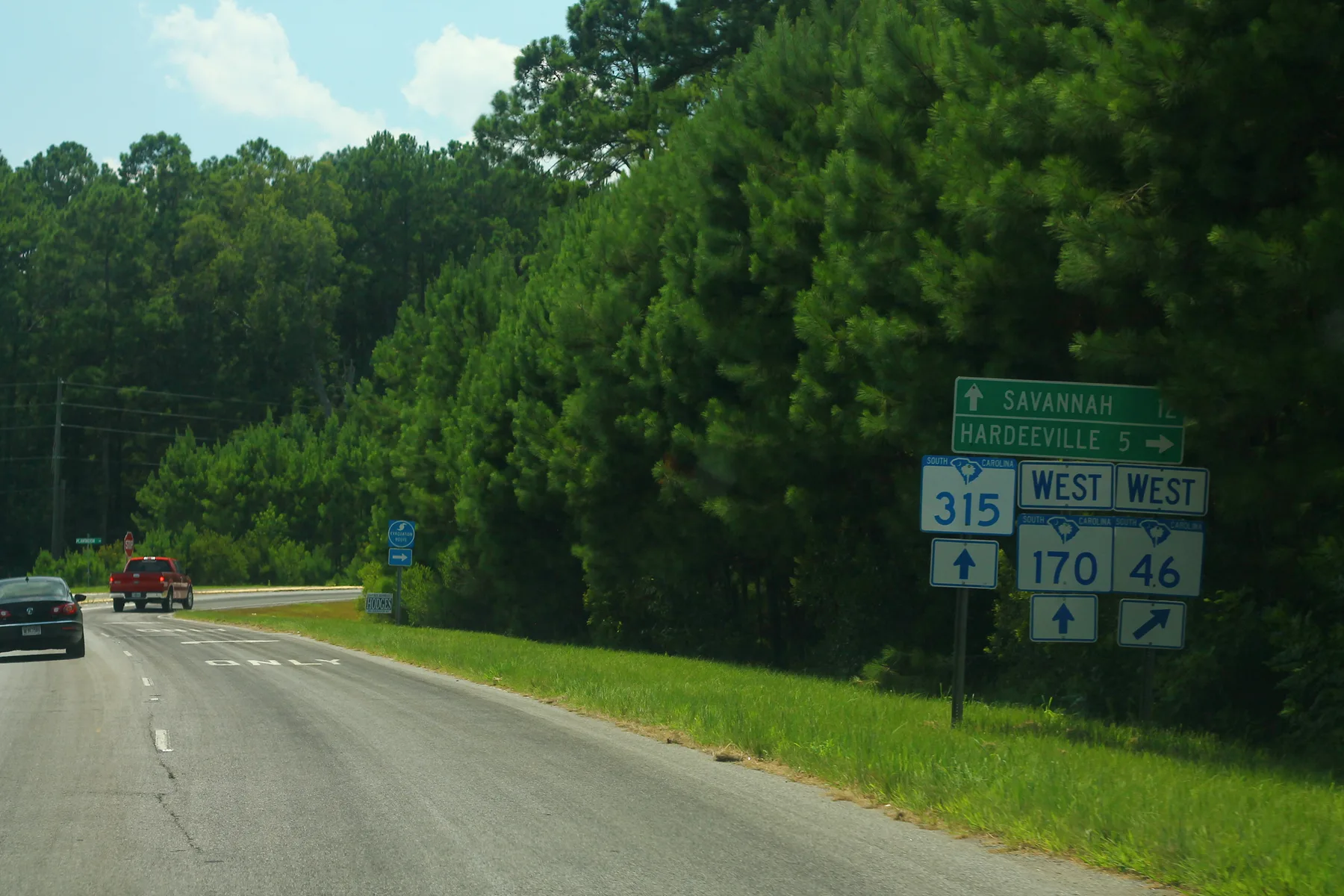
The town’s GIS map draws the New Riverside planning district at about 5.8 square miles in the southwest corner of town, where S.C. 170 (Okatie Highway) and May River Road (S.C. 46) meet, according to OpenStreetMap. Jones Estate is to the north and Palmetto Bluff to the south. All of it is inside the town limits and in ZIP code 29910.
The town’s subdivision layer places these neighborhoods in New Riverside: Alston Park, Heritage, Haven at New Riverside, the Landings at New Riverside, Midpoint, New River Forest, Southern Oaks and a tract the town labels Parcel 9.
Schools
New Riverside is in the Beaufort County School District. Shares are of sample points across the planning district checked against the district’s 2024-25 zone maps; ratings are South Carolina’s 2025 report card ratings, as the district announced them. Look up any school on SC School Report Cards.
| Level | School | Share of area | 2025 rating |
|---|---|---|---|
| High | May River High, 601 New Riverside Road | 80% | Good |
| High | Bluffton High, 12 H.E. McCracken Circle | 20% | Excellent |
| Middle | H.E. McCracken Middle, 250 H.E. McCracken Circle | 100% | Average |
| Elementary | Pritchardville Elementary, 9447 Evan Way | 100% | Good |
On the maps, the Landings at New Riverside, New River Forest and Parcel 9 fall in the Bluffton High zone. Most other neighborhoods are in the May River High zone. Check your address and confirm with the school; more in our schools guide.
Home values
The typical home value in ZIP 29910 was $523,700 in August 2026, up 0.7% from $520,071 in August 2025, according to the Zillow Home Value Index. The index is a modeled typical value for the middle third of homes, not a sale price, and it covers all of ZIP 29910. The town-wide Bluffton figure was $500,379, down 0.6% on the year. More in our home prices guide and property taxes guide.
Parks and trails
From the town’s facility layer and parks pages:
- New River Trailhead Park, 3829 Okatie Highway, a town trailhead for the New River Trail.
- New Riverside Barn Park, 44 Red Barn Drive, a town park with a playground.
- Jones Tract Park, a Beaufort County park inside the district.
More in our parks and trails and walking and biking trails guides.
Getting around
- Bus: Palmetto Breeze Route 512, between Buckwalter Place and the Hardeeville Walmart, stops at Publix New River on weekdays, according to Palmetto Breeze.
- Interstate: I-95 Exit 8 (U.S. 278) is about 14.6 miles by road from the middle of the area. Heading south toward Savannah, S.C. 170 and U.S. 17 reach I-95 about 14.2 miles away.
- The town’s main offices, 20 Bridge St.: about 9.8 miles.
- Airports: about 22.3 miles to Savannah/Hilton Head International Airport and 21.2 miles to Hilton Head Island Airport.
Distances are on the OpenStreetMap road network, measured with the OSRM routing engine. They are distances, not drive times. More in our getting around guide.
Groceries and everyday stores
From OpenStreetMap, at the district’s northern edge:
- Publix, 2501 May River Crossing
How to check an address
Look up the parcel in Beaufort County’s property search and the auditor’s tax district locator, then confirm the zoned schools with the district.
Frequently asked questions
What schools serve New Riverside in Bluffton?
The whole New Riverside planning district is zoned for Pritchardville Elementary and H.E. McCracken Middle. About 80% is zoned for May River High, which is inside the district, and 20% for Bluffton High, on the Beaufort County School District’s maps.
Where is the New River Trail trailhead?
The Town of Bluffton’s New River Trailhead Park is at 3829 Okatie Highway, inside the New Riverside planning district, according to the town’s facility map.
How big is New Riverside?
The town’s comprehensive plan lists the New Riverside planned unit development at 4,006 acres, approved in 2004, with 1,300 dwelling units and 190 acres of commercial land still entitled.
Is New Riverside a good place to live?
Here are the facts. New Riverside is a planned community of about 6 square miles in west Bluffton with May River High, two parks and a supermarket at its edge. Most of it is zoned for May River High, rated Good for 2025, and the typical home value in ZIP 29910 was $523,700 in August 2026, according to Zillow.
Have your say